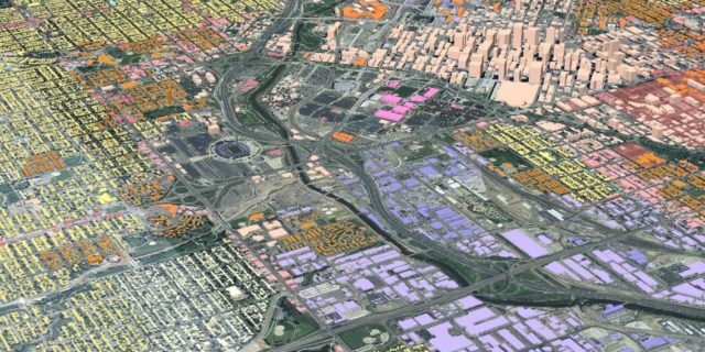
UrbanSim is a software-based simulation for urban areas, with tools for examining the interplay between land use, transportation, and policy. It is intended for use by Metropolitan Planning Organizations and others needing to interface existing travel models with new land use forecasting and analysis capabilities.
It is an open source urban simulation system designed by Paul Waddell (University of California, Berkeley) and developed with numerous collaborators. It has been distributed on the web since 1998 and Synthicity Inc. coordinates its development oand provides professional services to support its application.
The initial implementation of UrbanSim was implemented in Java and the software architecture was modularized and reimplemented in Python in 2005, making extensive use of the Numpy numerical library. The software has been generalized and abstracted from the UrbanSim model system and is now referred to as the Open Platform for Urban Simulation (OPUS), in order to facilitate a plug-in architecture for models such as activity-based travel, dynamic traffic assignment, emissions, and land cover change. OPUS includes a Graphical User Interface – GUI and a concise expression language to facilitate access to complet internal operations by non-programmers.

